
Here are a couple of simple steps to
help you begin the process of moving off grid
How to Start Looking for Land Parcels to Buy in Every State and County
What to look for in a property to live off grid?
1. Go to http://Weather.com and type in the nearest big city
2. Then click on on the Monthly Tab or https://weather.com/weather/monthly/. This will show you the high temperatures for the summer and the low temperatures for the winter.
3. Google “how many sunny days” for the nearest big city. This will be important when figuring how much solar power you can generate with solar panels.
4. Google “how deep the water table is” for the county or state to see how deep you will need to drill a well to hit water.
5. Google “how many inches of rain/snow and what kind of wind” the area gets on an annual basis. This will tell you how well you might do with Harvesting Rainwater.
6. Google “what garden growing zone” your property is located. Once you know what growing zone you are in, then you can Google what garden vegetables, plants, bushes and trees can be grown in this region. This will tell you what kind of food can you grow and harvest to support your family.
7. Google “hunting and fishing regulations” for the state or county. This will tell you what wildlife you can hunt and what type of fish/sea food might be available to harvest.
8. Google the driving distances to: grocery stores, feed stores, farmers markets, a post office, FedEx/UPS offices, hardware stores like ACE/HomeDepot/Lowes, dentist/doctor offices, emergency resources such as fire departments, EMS ambulance services, pharmacies, homeless shelters, social services and law enforcement services. One day when you least expect it, you may need one or more of these services.
9. What natural resources do you have to build with? Trees for lumber, rocks for foundations and walls, etc.
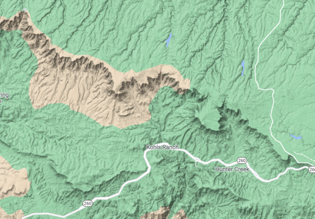
10. Download and learn how to use Google Earth. Use it to analyze areas that look good from satellite photos. Also visit https://www.lat-long.com/ and select your state. This will give you to GPS coordinates for every spring, seep, stock tank reservoir, within several miles of your property’s GPS coordinates. Google Earth and Lat-Long are one of the most useful tools I have ever used for scouting areas for hunting, fishing, hiking, backpacking and kayaking. If you use these tools and record handwritten notes onto printed 7.5 Minute quadrangle maps, you will be able to move cross country without ever being seen. All you need is a compass and some good. binoculars. You will never wonder what is on the other side of that ridge or mountain because you have virtually scouted every single feature with 20 miles of your property.
